
Cumberland County ZIP Code Coverage
The county GIS ZIP layer is the best local starting point because it maps postal-area polygons and preserves the City labels returned with them. It identifies 25 mapped ZIP values connected to Cumberland County geography. Those labels are useful for narrowing a search, but the GIS service is not an independent post-office directory and does not list people. The postal-label column below repeats the county layer where it agrees, or marks a label for confirmation when the layer itself shows a split.
| ZIP code | Mapped area label | Postal label to confirm | County GIS note |
|---|---|---|---|
| 28301 | Fayetteville | Fayetteville | Fayetteville polygon label |
| 28303 | Fayetteville | Fayetteville | Fayetteville polygon label |
| 28304 | Fayetteville | Fayetteville | Fayetteville polygon label |
| 28305 | Fayetteville | Fayetteville | Fayetteville polygon label |
| 28306 | Fayetteville | Fayetteville | Fayetteville polygon label |
| 28307 | Fort Bragg | Fort Bragg | Repeated Fort Bragg label in GIS |
| 28308 | Pope Army Airfield | Pope Army Airfield | Installation or airfield label |
| 28311 | Fayetteville | Fayetteville | Fayetteville polygon label |
| 28312 | Fayetteville; Eastover | Verify with USPS | One ZIP has two returned city labels |
| 28314 | Fayetteville | Fayetteville | Fayetteville polygon label |
| 28318 | Autryville | Autryville | GIS city label |
| 28326 | Cameron | Cameron | Check county and postal coverage |
| 28334 | Dunn | Dunn | GIS city label |
| 28342 | Falcon | Falcon | GIS city label |
| 28344 | Godwin | Godwin | GIS city label |
| 28348 | Hope Mills | Hope Mills | GIS city label |
| 28356 | Linden | Linden | GIS city label |
| 28371 | Parkton | Parkton | GIS city label |
| 28382 | Roseboro | Roseboro | GIS city label |
| 28384 | Saint Pauls | Saint Pauls | GIS city label |
| 28390 | Spring Lake | Spring Lake | GIS city label |
| 28391 | Stedman | Stedman | GIS city label |
| 28395 | Wade | Wade | GIS city label |
| 28399 | White Oak | White Oak | GIS city label |
| 28441 | Garland | Garland | GIS city label |
The Cumberland GIS ZIP Codes layer shows the polygon service used for these labels.
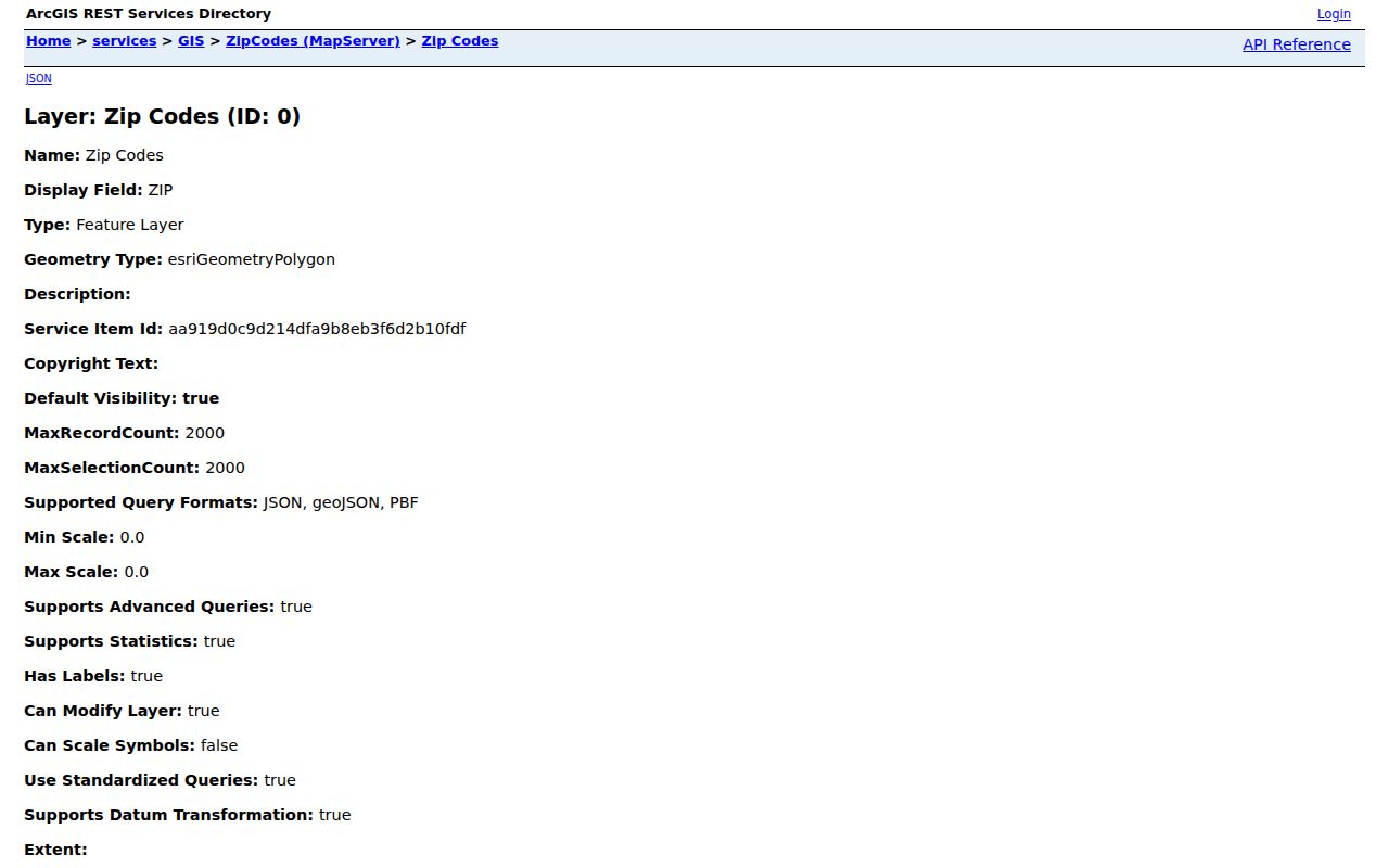
The layer can be queried by its five-character ZIP field, then compared with a parcel or street before a record search begins.
Cumberland County GIS Postal Labels
The county service stores ZIP as a five-character string and pairs it with City, City_Code, geometry, object, and edit metadata. It supports query, pagination, distinct values, and ordering. Its reported record and selection ceiling is 2,000, which is far more useful for checking one postal area than for producing a countywide list. The layer maps areas and attributes. It does not contain resident names, voter rolls, or a legal description of city limits.
A practical note file should keep the raw ZIP and City values, the street address, and the date of the search. That preserves the county’s exact label when later records use a different community name. For a property question, follow the polygon with the tax parcel record. For a postal-delivery question, check an official USPS address tool or the relevant post office. The county layer and a postal tool answer related but different questions.
Note: County GIS labels are mapped evidence, while postal delivery naming and municipal jurisdiction require separate verification.
Cumberland County 28312 Boundary Labels
ZIP 28312 is the clearest local example of why a Cumberland County ZIP code directory cannot treat a ZIP as a city boundary. The returned GIS attributes use both Fayetteville and Eastover for the same ZIP value. A street in that postal area may therefore carry a label that differs from the municipal context needed for a request, permit, or parcel question. Keep both labels in the research notes rather than choosing one without checking the address.
The county’s municipalities information supplies useful community context when a postal label needs to be compared with an incorporated place.
That municipal reference helps separate a mapped ZIP label from the local government that may hold a city record.
Cumberland County Installation Postal Labels
Two mapped labels need their own treatment. The county GIS layer returns Fort Bragg for 28307 and Pope Army Airfield for 28308. They should not be compressed into a generic Fayetteville label. Cumberland’s records history includes installation-centered geography, and the installation name itself changed from Fort Bragg to Fort Liberty in 2023 and back to Fort Bragg in 2025. Old and recent material may therefore use different wording for a nearby address or organization.
The Cumberland County history collection provides the local historical setting for the county’s changing place names and military geography.
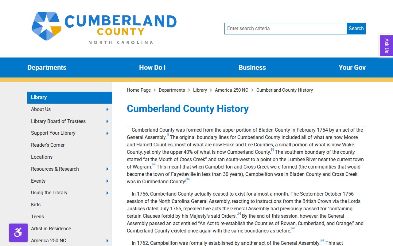
Use the source wording from the record, then add the current label separately when it clarifies a search across time.
Find Cumberland County Residents by ZIP
A ZIP narrows geography, but none of the inspected name-capable systems has a documented ZIP search field. The county Tax Administration form searches owner or business name, street number and name, REID, or PIN. The state voter form searches a name, county, year-of-birth clue, and status. Use the ZIP polygon to narrow the address first, then use the field that the next official system actually accepts. This avoids claiming that a street or voter search can filter by ZIP when it cannot.
- Query the county ZIP polygon layer and save every City label returned for the five-digit ZIP.
- Compare the street or parcel against the polygon, then open Cumberland Tax Administration Real Estate Search with the owner or street clue.
- For a person-specific civic record, use North Carolina Voter Search with a full name, Cumberland County, a year-of-birth clue, and a status selection.
- Confirm the delivery label with USPS or the post office before describing a postal area as a city boundary.
Once the search reaches one street, the Cumberland County street directory supplies the fuller address-to-parcel workflow. A tax listing name is an ownership clue, not proof of a current occupant, and a public voter result is a separate, time-stamped record.
Cumberland County Search Fields by ZIP
The GIS service is the only inspected system with a ZIP field. Its table is especially important because it identifies the field and also documents what the later portals lack. Tax Administration has an address mode, but its street-name instruction says to omit street types such as Road or Drive and direction words such as West. The voter search is name and county based. A ZIP entry alone will not return a property card or voter record.
| System | Available field | How it helps | Limit to keep in mind |
|---|---|---|---|
| County GIS ZIP layer | ZIP, five-character string | Returns City, City_Code, geometry, and map metadata | Maps polygons, not people |
| Tax Administration | Owner or business, street number, street name, REID, PIN | Connects a narrowed street to a current parcel listing | No ZIP field observed |
| North Carolina Voter Search | First name, middle initial, last name, birth year, county, status | Tests a named record in the county | No ZIP field observed; protected addresses may be withheld |
| USPS supplemental route | Live address and ZIP controls vary | Checks postal delivery naming | Current form fields were not captured |
The Cumberland voter-search information explains the public fields and routes to the state lookup.
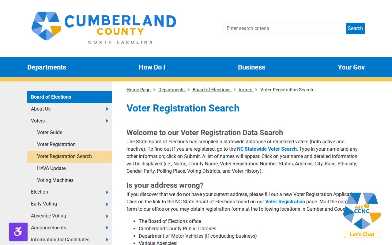
The voter path can confirm a named record within the county, but it should follow the geographic check rather than replace it.
Cumberland County Postal Boundaries
Postal delivery routes, county lines, annexations, installations, and rural place names do not share the same geometry. That is why 28312 carries both Fayetteville and Eastover labels and why the Fort Bragg and Pope Army Airfield labels need care. Use county GIS for mapped coverage, a postal tool for delivery confirmation, and tax or planning records for a legal parcel or municipal question. A ZIP code directory is strongest when it keeps those roles separate.
- ZIP code
- A five-digit postal delivery area, not a legal city or county boundary.
- ZIP+4
- A more precise postal segment. No ZIP+4 field was inspected in the county GIS layer.
- PO-box or special-use ZIP
- A postal code assigned to a facility or special delivery function. Verify its current purpose with USPS.
- Carrier route
- A mail-delivery route, not a parcel index or resident list.
- Polygon layer
- A mapped area with queryable attributes. It cannot establish who lives throughout that area.
The voter statute explains why public election data has limits and why a missing address can be intentional. See N.C. Gen. Stat. § 163-82.10 for the field and protected-address rules.
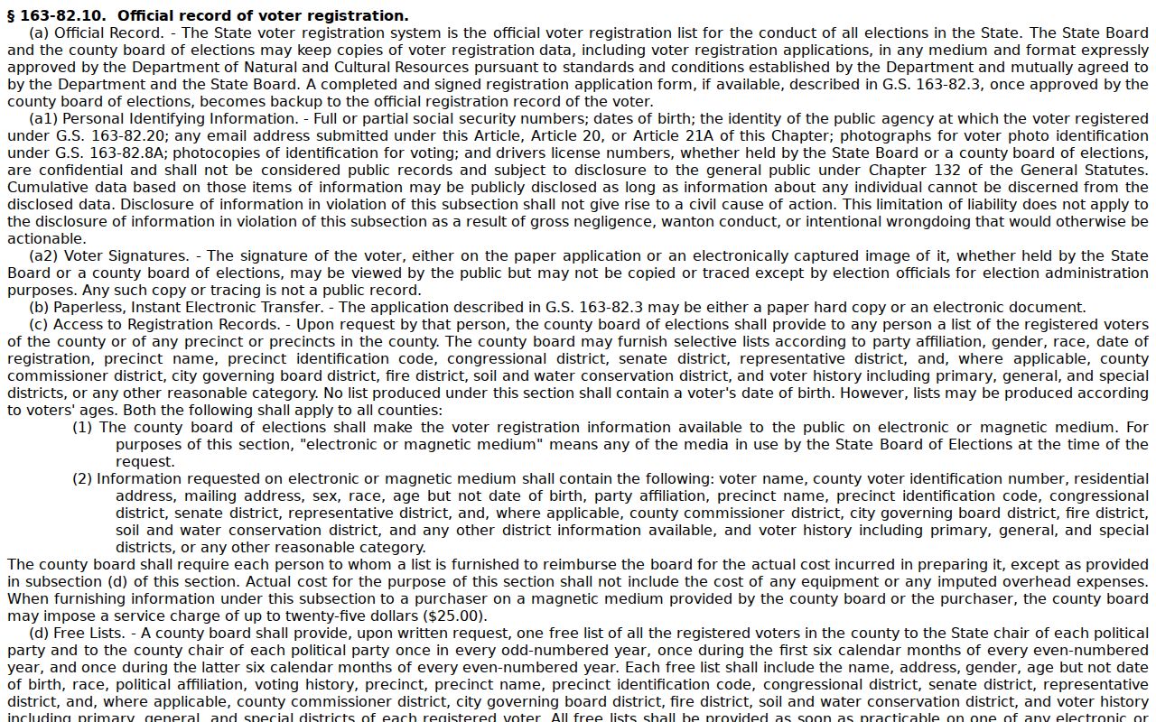
Respecting those limits keeps a ZIP-based search tied to the public field the custodian allows.
Cumberland County Address Label Checks
Address research also needs a date check. Fayetteville approved Plantation Avenue becoming Garden Avenue and Chattel Street becoming Reflection Street, with the changes taking effect in January 2026. County GIS systems were reported updated while some commercial map services lagged. Search both names for a recent address history, then confirm the current official street label before pairing it with a ZIP polygon or tax record.
The county Addressing Office provides Single Address, Subdivision Address, Address Deletion, and Address Verification Letter request routes. It is at Room 573, 117 Dick Street, Fayetteville, and lists 910-678-7712. The county’s Addressing page did not expose the live ArcGIS form fields in the research capture, so confirm any form requirement directly with that office.
Note: A current ZIP label may be accurate for delivery while an older deed or directory preserves an earlier street name.