
Cumberland Neighbors at One Address
The immediate block around a Cumberland address has several public record layers, but they establish different things. The tax record identifies a listing connected to a parcel. GIS shows where that parcel sits next to other mapped units. A deed image may identify recorded parties and legal descriptions. A voter result is a name-based, limited election record, not a reverse-address roster. City and library sources supply public project or historical context when the date and jurisdiction fit.
| Block source | What it can show nearby | Cumberland access route |
|---|---|---|
| Tax Administration | Current listing name, situs, REID, PIN, value, and improvement clues for one parcel | Online real-estate search; office help for prior-year detail |
| GIS Tax Parcels | Selected parcel, adjacent polygons, road names, map attributes, and spatial relationship | Public ArcGIS parcel service |
| Register of Deeds | Recorded parties, instrument type, recording date, legal description, and image access | Internet index, counter, or mail copy request |
| Voter record | Public address where allowed, status, districts, polling place, party, and voting history | State name lookup or Board of Elections request, subject to limits |
| Street guides and maps | Dated household, number, intersection, and building clues for an earlier block | Cumberland Library, DigitalNC, microfilm, and historical maps |
Ownership and occupancy must stay separate. A listed tax owner can receive a bill elsewhere, a voter address can be withheld, and a directory household belongs to the year printed. Cumberland neighbors are best understood as time-stamped records, not a permanent block list.
Cumberland Neighbor Parcels in GIS
The county’s GIS Tax Parcels service is the practical first map for an immediate radius. It supports Identify, Query, Find, map export, and related layer operations. The observed service metadata reports a 2,000-record and 2,000-selection maximum. That is enough to inspect a modest block in pieces, but it is not a tool for pulling an unlimited county-wide collection of names.
Start by selecting the known parcel. Read its available attributes and nearby parcel outlines, then save the parcel clue for the tax search and deed index. The map shows adjacency, not a certified ownership opinion and not proof that a person is present at the location. A physical boundary is still valuable because it tells the researcher which records belong to the same small area.
Use the county’s real estate and GIS page to enter the official parcel-mapping route.
Tracing Cumberland Neighbors Nearby
A narrow process keeps a Cumberland neighbor search tied to the address instead of drifting into a broad name hunt. It also makes each handoff visible, from a selected parcel to a recorded party or a dated civic source.
- Locate the physical address in the tax search. Record the situs, listing name, REID, PIN, and any separately displayed mailing address.
- Select that parcel in the GIS service. Identify the parcels that physically share a side, rear line, or road frontage with the address under review.
- Run each parcel identifier or listed party through Tax Administration and the Register of Deeds. Check the legal description and recording date before associating results with the block.
- When a current civic check is appropriate, search the state voter system by a full name, county, birth-year clue, and status selection. Do not infer an address from a name match alone.
- For a full named-street record chain, use the Cumberland street directory, which follows an address along a road rather than only around one parcel.
The parcel is the anchor. The tax card, deed image, voter result, and city file are separate confirmations with separate dates and limits.
Note: Record the search date and source for every block result, because parcel, voter, and city systems change on different schedules.
Cumberland Neighbor Voter Context
Cumberland County’s voter-registration page sends users to North Carolina Voter Search. The public system is a name search, not a street map. It can show fields such as name, county, voter-registration number, status, public address, city, party, polling place, districts, and voting history, subject to statutory limits. Its observed form uses first name, last name, optional middle initial and year of birth, an optional county selector, and a voter-status choice.
North Carolina law does not make date of birth, driver-license numbers, or Social Security data part of the public electronic voter list. A signature may be viewed under the statute but cannot be copied or traced. Address Confidentiality Program participants and people protected by qualifying orders can keep their residence address out of ordinary disclosure. A blank address should be respected rather than filled in through indirect research.
The Cumberland voter-registration information page gives the local route. Registration applications go to the Board of Elections at 227 Fountainhead Lane in Fayetteville, not to other unapproved county offices.
Cumberland Neighbor Resource Contacts
The research did not identify a countywide private membership directory, and a public civic listing should not be treated as one. It did identify official community contact routes that help locate a group, meeting, public record, or neighborhood project without copying attendee information. Fayetteville Neighborhood Resources points toward Community Watch connections, neighborhood entrance-sign support, and small community safety grants between $1,500 and $5,000.
| Official Cumberland route | Public contact purpose | Useful block context |
|---|---|---|
| Fayetteville Neighborhood Resources | Community Watch connection, entrance-sign support, and grant information | Public neighborhood programs and the city contact channel |
| Fayetteville events calendar | Keyword, date, neighborhood, and category filters | Public meetings or activities associated with a place and time |
| Fayetteville City Clerk | Permanent municipal records, minutes, city code, contracts, and cemetery deeds | Civic action or an older city record tied to a site |
| Cumberland Library local history | Focused help with directories, maps, newspapers, yearbooks, and microfilm | Older street, household, or neighborhood evidence |
The city’s Neighborhood Resources source documents those public community routes.
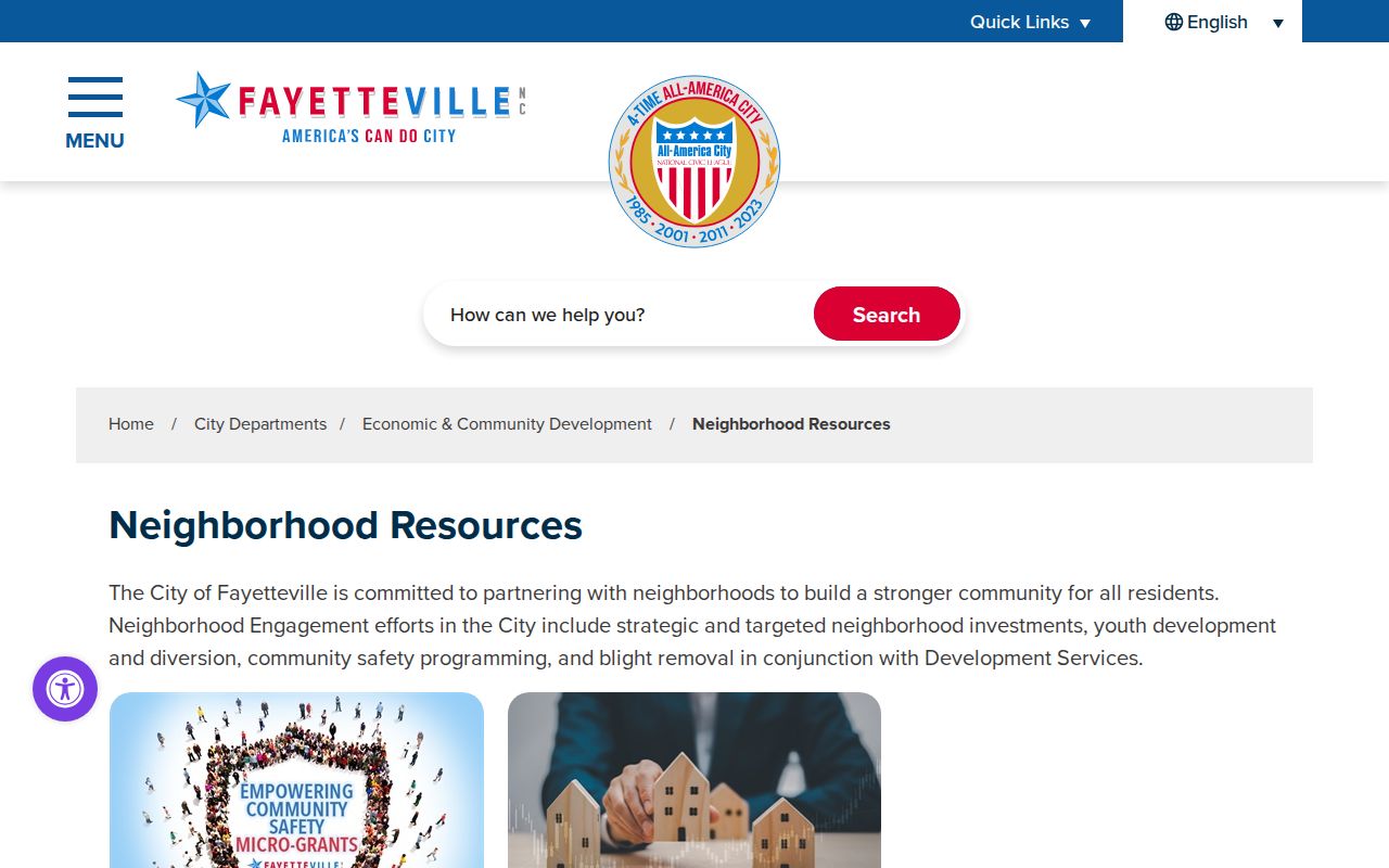
These channels help a person reach a public organization or city program while keeping the focus on the organization, not on a private roster.
Cumberland Neighbor Events Nearby
Fayetteville’s public events calendar adds a time-and-place layer to a block question. The observed filters cover keyword, date, neighborhood, and category. They can locate a public meeting, program, or event associated with an area. An event listing does not prove attendance, residence, or membership. Its useful role is to point to an organization’s own public contact route or to a date that can be compared with city minutes and project records.
Open the Fayetteville events calendar when a public civic activity is the question.
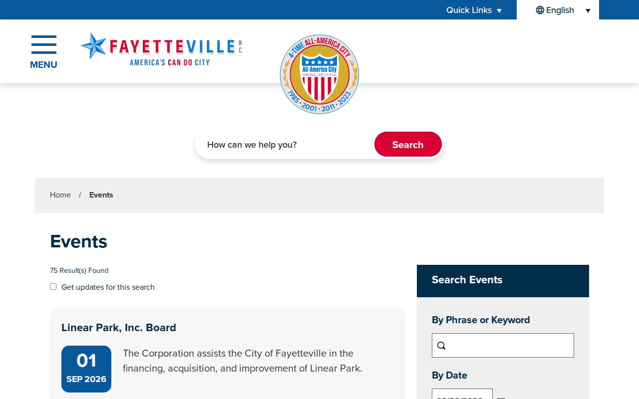
Using the calendar as a public-place index preserves the distinction between an advertised event and a private person’s location.
Cumberland Neighbor Site Records
Municipal records can clarify a nearby site when the address lies in Fayetteville. The city’s Permitting and Inspections page directs users to E-Development for projects after 2021 and Fayworx for projects from 2015 through 2021. Those project pages can include applications, plans, permit records, and inspection reports. The research did not capture their live field labels, so the documented time split is more reliable than assumptions about search controls.
The City Clerk coordinates or keeps minutes, official actions, city code, cemetery deeds, contracts, and other permanent municipal records. For a record without an online index, Fayetteville’s transparency instructions ask for a specific subject, address, or date range. Requests estimated under four hours carry no charge. Longer requests can be charged at the actual Office Assistant II compensation rate, up to $750, with a 50 percent prepayment of the estimate.
The Fayetteville Permitting and Inspections page is the starting route for a site project.
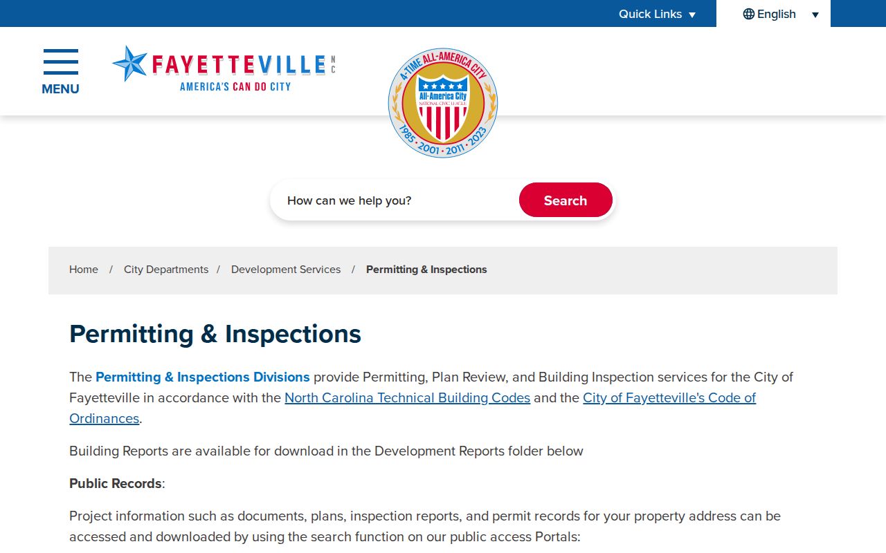
A project record can place an application, plan, or inspection at an address without identifying every person connected with the block.
Permanent city records use a different custodian and can add dated civic context after the project route has been checked.
The Fayetteville City Clerk source identifies the municipal records office.
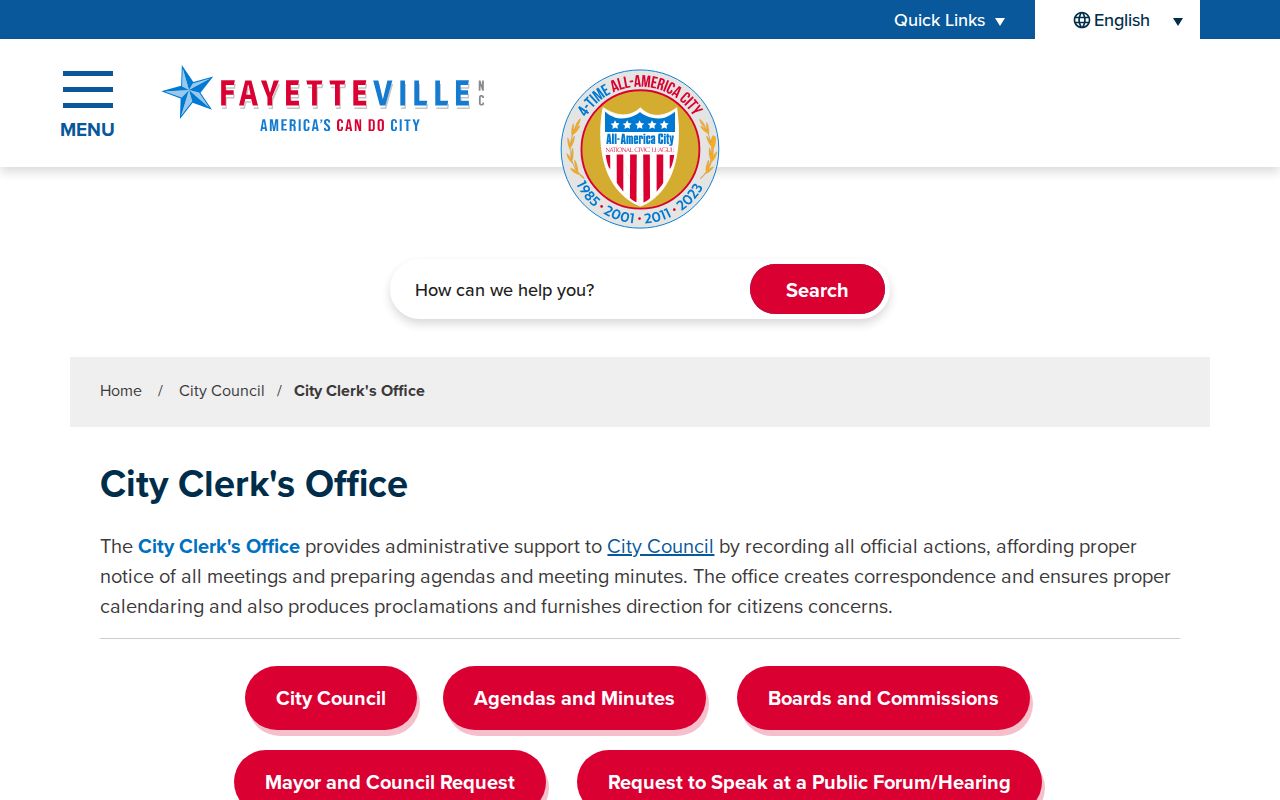
The Clerk is the appropriate local handoff when minutes or official city action, rather than a parcel listing, explains the block context.
Cumberland Neighbor ZIP Labels
A ZIP label near a Cumberland block is a map and delivery clue, not a city boundary. The county GIS ZIP layer has fields for ZIP, City, City_Code, geometry, object and edit metadata, and supports query, pagination, distinct values, and ordering. Its observed service also has a 2,000-record and selection ceiling. That layer narrows geography, but it does not carry resident names.
ZIP 28312 is a local reminder to keep labels separate: the county GIS response includes both Fayetteville and Eastover for that value. ZIP 28307 uses a Fort Bragg label, and 28308 uses Pope Army Airfield. Check a current postal tool for delivery confirmation and county tax or planning records for a parcel or municipal question. Do not turn a delivery label into a claim about who lives on the block.
Cumberland Neighbor Source Comparison
Official records and commercial neighbor-lookup tools are not interchangeable. A county or state custodian identifies its record type, scope, and access rule. Commercial tools may compile public, broker, social, and other data, but a matching entry can be stale, incomplete, or associated with a different same-name person. For a question with a real address or date, return to the custodian that created the record.
| Source category | Strength for a Cumberland block | Limit to remember |
|---|---|---|
| Official parcel, deed, voter, and city records | Known custodian, defined fields, date, and access channel | Each source answers only its own record question and may withhold protected fields. |
| Commercial neighbor tools | May offer a quick lead to verify | Can blend old, incomplete, or same-name data and may not identify the underlying record date. |
The Fayetteville transparency page describes the city route for focused public-records requests.
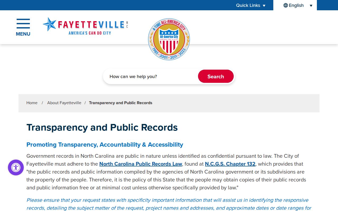
A focused request with a subject, address, or date range is more reliable than asking an office to assemble a new block roster.
Cumberland Neighbor Privacy Limits
Neighbor research has firm boundaries. North Carolina protects voter fields such as date of birth, driver-license information, and Social Security data from the public electronic list. The North Carolina Address Confidentiality Program provides an eligible participant with a substitute address in selected transactions, although a real-property record can remain public in another system. A protected or missing field must not be reconstructed from parcel patterns, old scans, or indirect clues.
When a county-held record has no public search interface, use the Cumberland County public-records request route with a narrow address, subject, or date range.
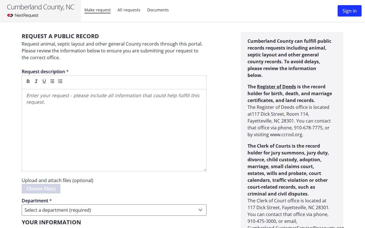
The request route is a custodian channel for a defined record, not a way to ask the county to create a private-neighbor list.
Lawful use. Use Cumberland neighbor records for civic curiosity, family history, estate questions, personal safety awareness, or a lawful reconnection. Do not use public information to threaten, follow, repeatedly contact, stalk, or harass another person.