
Tracing a Cumberland Street
A useful Cumberland street directory search begins with the physical number and the normalized street name. The county Tax Administration form says to leave off a street type such as Road or Drive and directional words such as West. That address result can supply a listed owner, REID, PIN, situs address, and sometimes a mailing address. The next steps do not turn those fields into a household list. They let the searcher compare a current tax listing with map boundaries, an instrument, a voter record when public, and an older street guide.
- Run the number and street name in the Cumberland Tax Administration Real Estate Search. Preserve the owner or business listing, REID, PIN, situs, tax year, and any separate mailing field.
- Use the Cumberland GIS Tax Parcels service to see the selected parcel, the road, nearby boundaries, and available map attributes.
- Search the Cumberland Register of Deeds Internet Search by the listed party and the parcel or legal-description clues. Compare the recording date and document type with the tax result.
- For a current civic confirmation, use North Carolina Voter Search with a full name, county, birth-year clue, and status. Public voter fields have statutory limits and protected-address exceptions.
- For a dated household clue, use a Fayetteville street guide, Sanborn map, census neighbor, or newspaper issue through the library rather than treating a modern parcel result as history.
Tax Administration is a listing system, GIS is a spatial system, the Register of Deeds records instruments, and Elections administers voter registration. A Cumberland street search gains strength when its source and date remain attached to each fact.
Cumberland Street Search Fields
The tax portal offers several routes into the same property record. Address mode is the direct route for a street question. Owner or business name helps when the parcel already has a likely listing name, while REID and PIN are the strongest identifiers once a prior result supplies them. The county describes the online material as current-year parcel information. Earlier values and billing follow a separate abstract route, so a current card should not be read as a complete past account.
| Cumberland field | How it is entered | Street-search use |
|---|---|---|
| Owner or business name | Text, shown as last name, first name or business name | Connects an address clue to the county listing name. |
| Street number | Numeric, optional in address mode | Narrows a named street to a particular site. |
| Street name | Text, required in address mode | Enter without a street type or direction as instructed by the portal. |
| REID | Numeric, required in its search mode | Returns to a known real-estate record. |
| PIN | Text or numeric entry, at least 10 digits in the observed validation | Connects the tax listing to parcel-oriented research. |
The county’s real estate and GIS page explains the current-year scope and the abstract path for older value or billing work.
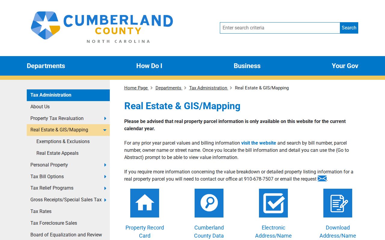
That split is a practical safeguard when a Cumberland street directory search crosses from a current parcel to a past date.
Note: Keep the situs and mailing fields apart, because a notice can be delivered somewhere other than the physical parcel.
Cumberland Street Parcels in GIS
Parcel mapping makes the shape of a Cumberland street visible. The county’s ArcGIS Tax Parcels service exposes Identify, Query, map export, Find, and related operations. Its observed metadata reports a 2,000-record maximum and a 2,000-selection maximum. For a long road, inspect a road segment or map extent in smaller pieces and record the relevant identifiers. A map selection is an address relationship, not a certification of ownership or a claim about every person at the site.
The service helps bridge a street number to its nearby parcels, road names, ZIP polygon, and map attributes. Select the parcel first, read the available attributes, then check the tax listing and a recorded instrument. This order prevents a property boundary from being mistaken for a name directory.
Inspect the county’s parcel-layer source when working from a specific Cumberland address.
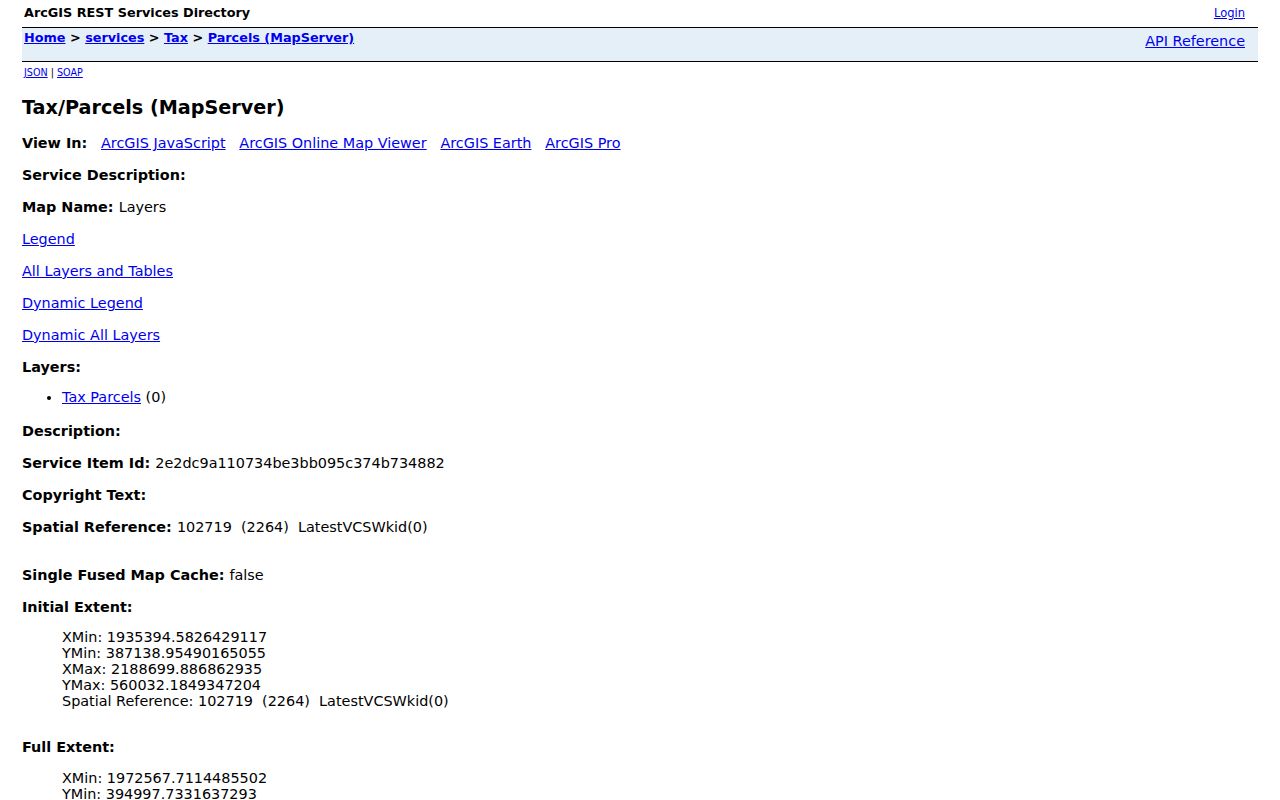
The GIS service supplies the spatial handoff that lets a street-by-street search move from one selected parcel to the next.
Cumberland Street Directory Records
No Cumberland street directory is a complete roster. Instead, address-keyed records overlap in useful ways. Tax data ties the present parcel to a listing. GIS shows the mapped unit. A deed or plat carries legal-description and recorded-party clues. A permit can document site work. The voter file and historical directories are dated layers with their own limits. Compare them rather than collapsing them into one claim.
| Street record | Cumberland keeper | Address evidence | Available route |
|---|---|---|---|
| Tax parcel card | Tax Administration | Situs, REID, PIN, listing name, values, and improvements | Online current-year search; office and abstract route for prior-year detail |
| Parcel layer | County GIS | Parcel shape, road, adjacent polygons, and map attributes | Public ArcGIS service and county GIS page |
| Deed or plat index | Register of Deeds | Recorded parties, document type, dates, legal description, and images | Internet index, office counter, or mail copy request |
| City project record | Fayetteville Development Services | Project address, permit, plan, inspection, and site documents | E-Development after 2021; Fayworx for 2015 through 2021 |
| Voter record | North Carolina State Board of Elections | Public address where allowed, status, districts, polling place, and history | Name-based state lookup or county Elections request, subject to limits |
| Street guide | Cumberland County Library and DigitalNC | Historical number, householder, telephone clue, and intersections | Library, microfilm, and digitized directory scans |
A parcel identifier links the tax and GIS layers, while a legal description and party names can lead into recorded land documents. A street name connects the historical guide to the modern address, but only after the date is checked.
Cumberland Street Deed Clues
Once a tax record supplies a party or parcel clue, the Register of Deeds index can add the legal record. Search for grantors and grantees, then open the image when available. Grantor means the party transferring an interest; grantee means the party receiving it. A deed chain can branch through estate work, trustee deeds, quitclaim instruments, boundary agreements, satisfactions, or name changes, so it is not always a straight sequence of owners.
The Register of Deeds says its online land-record search reaches back to 1754. Its FAQ also says the office does not perform title searches, a boundary set by North Carolina law. A downloaded image is not automatically a certified copy. Uncertified copies are listed at $0.25 per page, while certified copies are $5 for the first page and $2 for each additional page. Mail requests go to P.O. Box 2039, Fayetteville, NC 28302, and the office also provides in-person service.
The Register of Deeds land-document list helps identify the terms shown in the index.
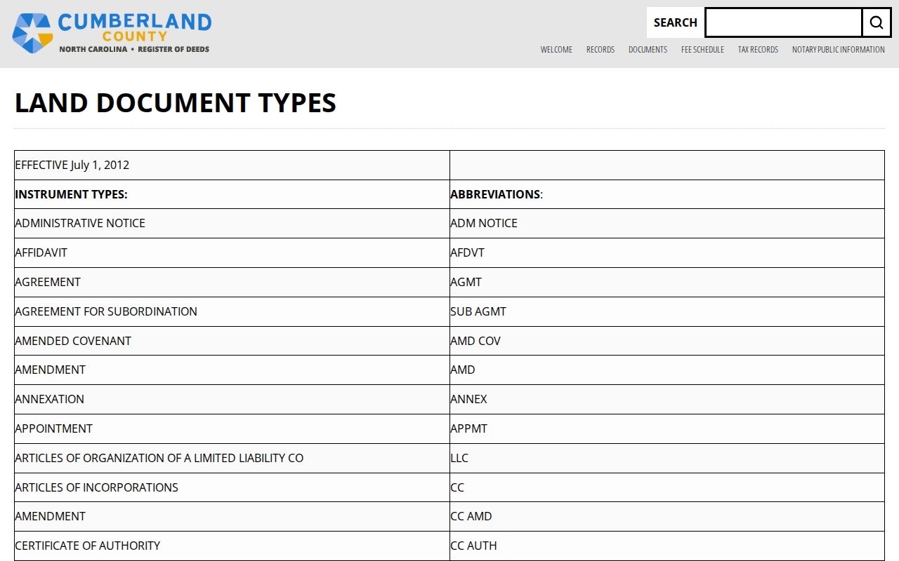
Matching the displayed document type to its recorded image helps keep a Cumberland street search grounded in the instrument rather than a shorthand index line.
Note: A recorded image can support a historical address trail, but a legal title opinion requires the appropriate qualified professional.
Cumberland Street Names Through Time
Fayetteville has a record-history break that can make an old number look wrong. A historic-preservation report describes a citywide renumbering and street-renaming effort in 1951. When a 1924 directory number fails to line up with a present parcel, compare the directory street guide, a Sanborn sheet, the deed’s legal description, and the older name before deciding that the household moved. Annexation growth also means one road can appear under rural and municipal labels in different decades.
A second, much newer naming issue affects recent records. Fayetteville approved the change from Plantation Avenue to Garden Avenue and from Chattel Street to Reflection Street, with the changes taking effect in January 2026. City GIS was reported updated while some commercial maps lagged. Use both names when the record date spans the change, and retain the source’s own spelling in research notes.
Cumberland Street Project Records
A site in Fayetteville can have a separate municipal project trail. The city’s Permitting and Inspections page directs researchers to E-Development for projects after 2021 and Fayworx for projects from 2015 through 2021. Public project pages can contain applications, plans, permit records, and inspection reports. The research capture did not verify the field labels of either live portal, so use the city’s stated time range rather than assuming an unobserved search control.
For city-held material that lacks a search interface, the Fayetteville public-records instructions ask for a specific subject, address, or date range. Older council material, especially minutes before 2015, may need that route. Requests estimated at under four hours carry no charge; longer work may be billed at the actual compensation rate for an Office Assistant II, up to $750, with a 50 percent prepayment of the estimate.
The county Planning and Inspections questions page gives the local distinction between county addressing and project records.
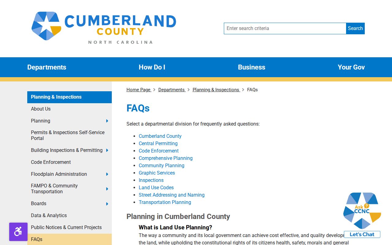
For addresses outside Fayetteville, identify the municipality first because each town can keep its own city records.
Cumberland Street Record Terms
Several labels recur in a Cumberland street directory search. They describe different parts of the address record and should not be substituted for one another.
- Parcel
- A mapped unit of land identified by a tax or legal identifier.
- Situs address
- The physical location assigned to the parcel.
- Mailing address
- The delivery address used for notices or correspondence, which can differ from the situs.
- Plat
- A recorded map that shows lots, lines, streets, or subdivision relationships.
- Criss-cross directory
- A directory arrangement that moves from a street address to a household and back from a name to an address.
For the older street-guide technique, the digitized historical volumes belong with the Cumberland city directory collections. The modern street record chain remains the better starting point for a current parcel.
Cumberland Street Address Corrections
Address differences sometimes come from an official change rather than a faulty search. Cumberland’s Addressing page offers public routes for an Address Deletion Request, Single Address Request, Subdivision Address Request, and Address Verification Letter Request. The research did not capture the live ArcGIS form fields or any fee, so the forms should be used for assignment or verification questions instead of assuming an undocumented process.
The office is listed at Room 573, 117 Dick Street, Fayetteville, NC 28301, with 910-678-7712. County guidance also says developers or property owners propose street names, names are checked for duplication, house numbers must be at least four inches high, and E911 block-range corrections can prompt an address change.
Use the Cumberland Addressing page when a tax card, GIS label, postal address, and old directory number need an official verification.
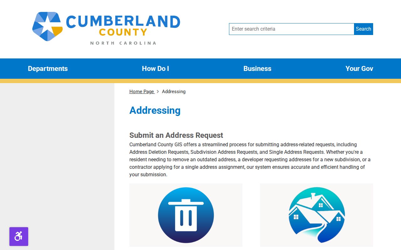
An official verification can explain a mismatch without forcing an old number to fit a new Cumberland street label.
Cumberland Street Copy Limits
The Register of Deeds offers an online index, office counter service, and mail copies, but each route has a different purpose. Its FAQ explains that first-time users may receive scanned index-book pages and document images as PDFs, while a certified copy comes from the office. The tax office provides detailed value and listing information by request at 910-678-7507, and the county records-request portal is the fallback when a county-held record has no public search screen.
The Register of Deeds FAQ describes the search and copy boundary.
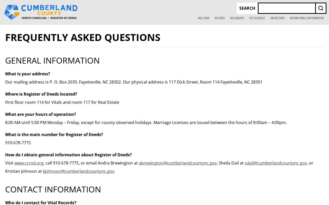
Using the office, mail, library, and focused-request channels preserves access when the online result is incomplete or too recent to answer a historical question.
Note: A narrow request with a date span, address, or parcel identifier is more workable than asking a custodian to build a new list.
Cumberland Street Directory Boundaries
A tax owner, a voter address, a historical directory household, and a current occupant are different record claims. Voter data excludes date of birth, driver-license information, and Social Security data from the public electronic list. Address Confidentiality Program participants and people covered by qualifying orders can keep a residence address from ordinary disclosure. DMV records have separate federal disclosure limits, and utility information is not a general public street source.
The North Carolina Address Confidentiality Program uses a substitute address for eligible survivors in selected public transactions, while real-property records may remain in another system. A missing field can be a safety feature. It is not an invitation to reconstruct the address from indirect clues.
Lawful use. Use Cumberland address records for family history, estate work, civic record review, property curiosity, or a lawful reconnection. Do not use a record trail to threaten, follow, repeatedly contact, stalk, or harass anyone; North Carolina law addresses stalking conduct without legal purpose.